Article by Floor Denil - Epic Adventurer & Atom Packs Ambassador

I have a special place in my heart for tough trails. Generally speaking, these challenging trails are also the ones that harbour the most magical, serene places. The CWT is no exception to this rule: I think I can safely say that I’ve spent the majority of my time on this trail in some of the most tranquil terrain I’ve ever set foot on. If the reward for my efforts is that big, I’m happy to sweat a bit more and go a bit slower than I initially would want to. TL;DR: the CWT is hard, but worth the effort!
“Ok Floor, you convinced me! But what are these challenges you’re talking about, exactly?” In general, I’d say that there are three main challenges on the Cape Wrath Trail: terrain, waymarking, and elevation. Let me elaborate a bit.
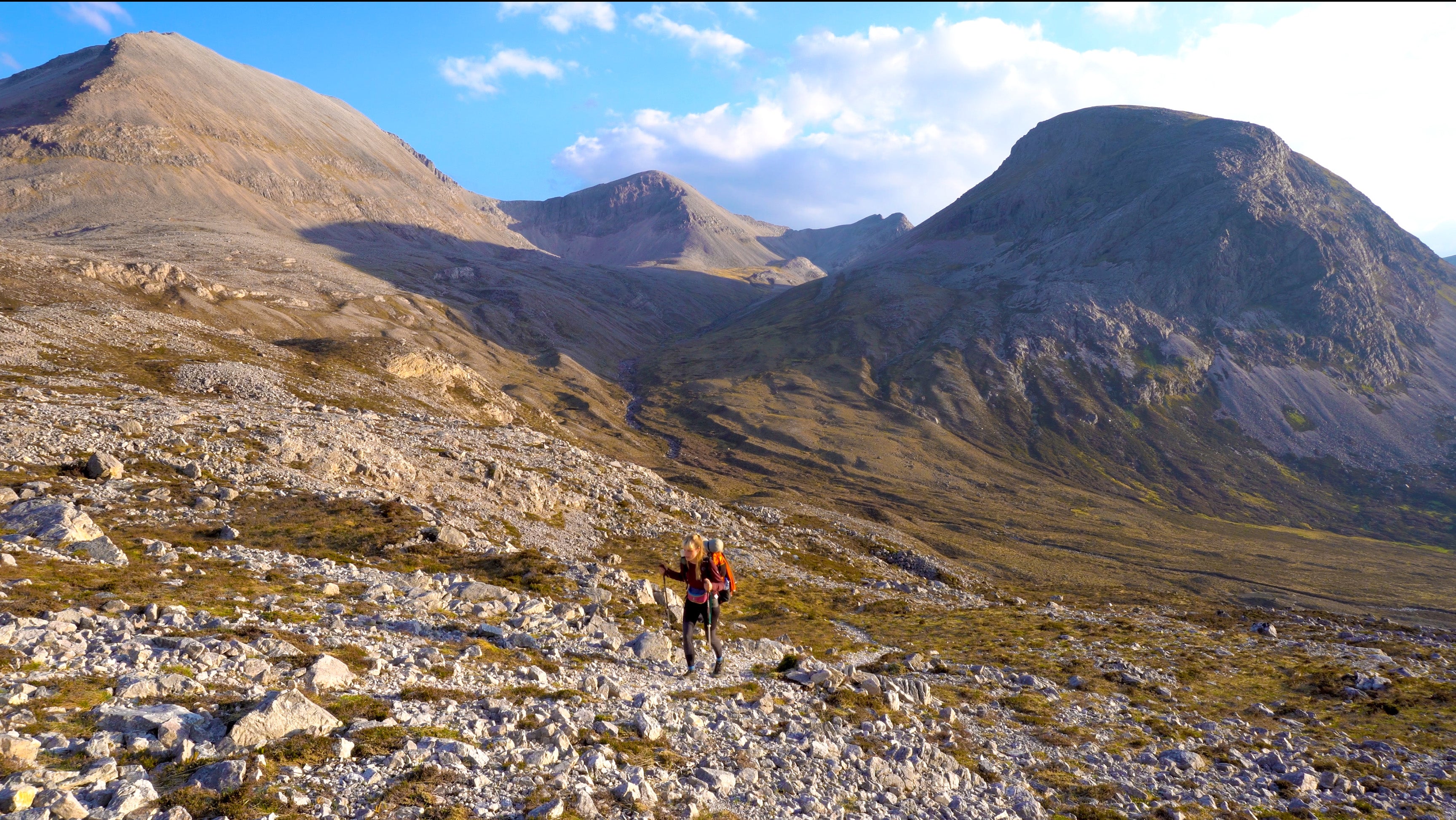
First of all, by far the biggest challenge you will encounter daily is the terrain. To fully comprehend the nature of this terrain, a little walk into history is needed. Thousands of years ago, the Scottish Highlands were fully forested. But throughout history, humans gradually deforested these areas, sculpting the distinctive landscape we know today. However, the cutting of these trees has had a significant impact on the ground. Scottish people will know exactly what I’m talking about: bogs.
The terrain on the trail is extremely boggy. Sinking ankle-deep in a bog is a daily occurrence, and if you’re lucky, you might even sink knee- or hip-deep into it. Stable ground under your feet will be an exception, and sometimes you’ll be surprised by your slow pace on flat stretches that you expected to be a walk in the park. It’s something you can get frustrated about (and believe me – from time to time, you probably will), but this frustration significantly lowers when I made peace with the fact that I’d hike in wet shoes every day. My hiking poles were also not a luxury, as they could measure the depth of the bogs before I fell into them. So, as the American long-distance hikers say so beautifully: embrace the suck!

The second challenge of the CWT is the waymarking. To put it bluntly: there is none. Don’t expect colour markings guiding you through the hills or wooden plaques pointing in the right direction; you’ll have to navigate yourself on this one. On top of this, sometimes the trail disappears for several kilometres. This, combined with the rough terrain, can be a pain in the bum (typing this, I’m immediately brought back to the infamous stretch around Beinn Eighe, where the trail disappears for a total of 6 kilometres on rough terrain. It took me 3 hours, and litres of sweat to cross this bit, even though it looked somewhat flat on the map). Maps and guidebooks will show you the easiest and most common way to cross these parts of the trail, but you’ll have to do all the navigation yourself as there isn’t a path to follow. A GPS device is no luxury here, although it is not advisable to navigate purely through GPS (because, of course: what if it fails?). Taking some time beforehand to acquire some knowledge of reading a map and a compass is an activity you’ll thank yourself for extensively on the trail. And remember when you encounter these stretches: embrace the suck!

And lastly: the elevation gain of the CWT is no joke. Don’t worry, in terms of elevation, this trail cannot be compared to your usual trail through the Alps or Dolomites, but by Scottish standards, this one is a proper toughie. The average daily elevation gain is 800 metres, which can be tough if you combine it with the rough terrain and poor waymarking. Expect a calf workout from time to time, aaand, all together now: embrace the suck!
Altogether, I think the biggest part of dealing with rough conditions is preparing yourself well and making peace with the fact that the conditions won’t be comfortable all the time. In return, you get to enjoy some of the best views in the entirety of Scotland, all by yourself! If that isn’t something you’d gladly sign up for :).
Xxx
Floor

